


Bellevue Oaks
The boundaries of Bellevue Oaks are: Winchester Street (North), Ridgewood Road (East), Northside Drive (South), and Old Canton Road (West).

The Ark: Transforming People and Community
The Ark, a non-profit organization under New Horizon Ministries, Inc., is a community center dedicated to community empowerment, restoration, and transformation. It is nestled in south Jackson across from the Alta Woods neighborhood and serves its community via sports, fitness, creative arts, education, and other programming.
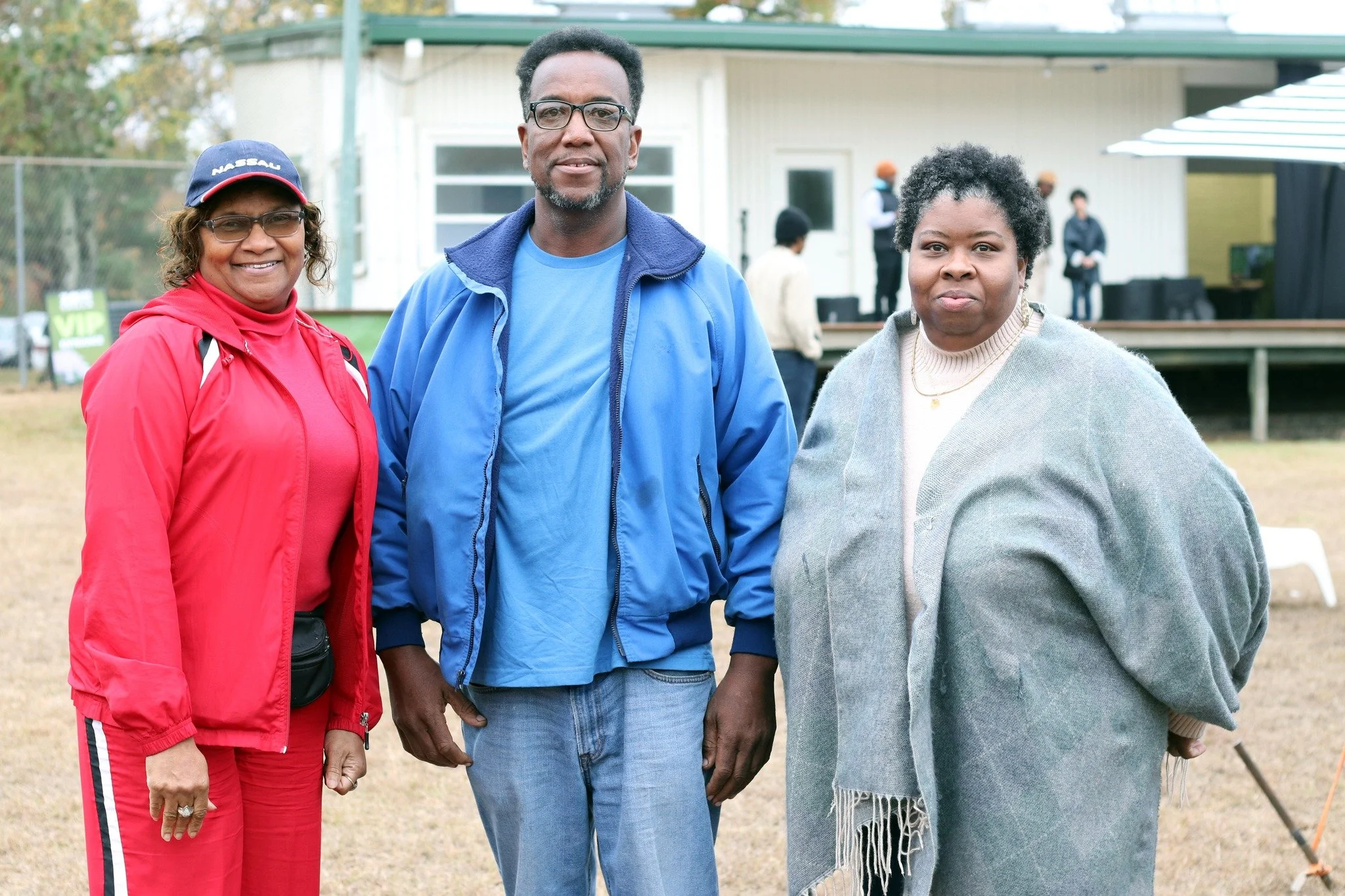
JAN Establishes Full Board of Directors for 2024
Collectively, this group has years of experience in neighborhood leadership, volunteering and community strengthening, making them the ideal collective to move JAN forward.

Ridgecrest
The boundaries of Ridgecrest are: Forest Avenue (North), Hanging Moss Road (East), Northside Drive (South), and Watkins Drive (West).

Heatherwood
The boundaries of Heatherwood are: Saratoga Drive (North), River Thames Road (East), Old Canton Road (South), and Ridgewood Road (West).

Heatherton
The boundaries of Heatherton are: Newland Street (North), Newland Street (East), Old Canton Road (South), and Ridgewood Road (West).

High School Park
The boundaries of High School Park are: Walter Dutch Welch Road (North), Albermarle Road (East), Ridgeway Street (South), and Parkway Drive (West).

Petit Bois
The boundaries of Eastover are Meadowbrook Road (North), Quail Run Road/Lake Circle (East), Eastover Drive (South), and Ridgewood Road (West).

LeFleur East
The boundaries of LeFleur East are: Canton Mart Road/ Old Canton Road (North), Meadowbrook Lake Drive/ Pearl River (East), LeFleur’s Bluff State Park/ Pearl River (South), and I-55 (West).

Capitol Neighbors
The boundaries of Capitol Neighbors are: W. Capitol Street (North), Rose Street (East), Robinson Road (South), and Prentiss Street (West).

Farish Street Historic District
The boundaries of Farish Street Historic District are: Fortification Street (North), Lamar Street (East), Amite Street (South), and Mill Street (West).


Cedar Hills
The boundaries of Cedar Hills are: Highway 18 (North), Sharon Hills Drive (East), Raymond Road (South), and Winnwood (West).

Presidential Hills
The boundaries of McLeod are: Westbrook Road (North), Pearl River (East), Riverwood Drive (South), and Yucca Drive (West).


Fontaine Place
The boundaries of Fontaine Place are: Fontaine Drive (North), Ridgewood Road (East), Fontaine Drive (South), and Old Canton Road (West).

Brookleigh
The boundaries of Brookleigh are Torrey Pines Drive (North), Forest Hill Road/Terry Road (East), Farrow Drive (South), and Torrey Pines Drive (West).

Pecan Tree Park
The boundaries of Pecan Tree Park are: Robinson Road (North), Prentiss Street (East), J.R. Lynch Street/Robert Smith Parkway (South), and Ellis Avenue (West).

